1892 Washington DC Vintage City Map Canvas Print by UrbanYore
Shared by mbrazier in the Vintage
Product Description:
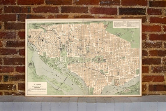
This map of Washington, DC from 1892 is printed on stretched canvas and ready to hang!Plan on visiting the District? Don't forget your Strangers' Guide to Washington City! This isometric view of the National Capital was the perfect companion for anyone traveling to the area toward the end of the 19th century. Wonderfully illustrated, the map includes public buildings, parks, churches, railroads and more. It also lists a number of important places to visit with short descriptions of each.
Canvas dimensions are 24" x 36" and 3/4" deep.
Site:
1
Who
Share the love around the world - for the love of handmade:

Tweet